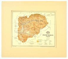
1897 Zólyom vármegye térképe, terv. Gönczy Pál, Bp., Pallas Nagy Lexikona, 1:350.000, Bp., Posner Károly Lajos és Fia, paszpartuban, 22,5×28 cm / 1897 Map of Zvolen county, now Slovakia, in passepartout.
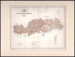
1897 Verőce vármegye térképe, terv. Gönczy Pál, 1:570.000, Pallas Nagy Lexikona, Bp., Posner Károly Lajos és Fia, paszpartuban, 22,5×28 cm / 1897 Map of Virovitica county, now Croatia, in passepartout.
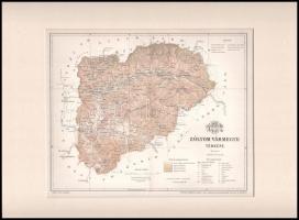
1897 Torda-Aranyos vármegye térképe, terv. Gönczy Pál, Pallas Nagy Lexikona, 1:540000, Bp., Posner Károly Lajos és Fia, paszpartuban, hajtásnyommal, 22,5×28 cm / 1897 Map of Turda-Aries county, in passepartout.
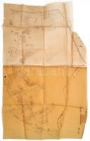
XIX. sz. Tlács, Acsuca, Gyalu Talácsului erdélyi település telkeinek kézzel rajzolt térképe pausz papíron / Hand drawn map of Transylvanian village 78x47 cm
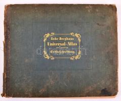
Sohr-Berghaus Universal-Atlas der neueren Erdbeschreibung über alle Theile der Erde in 114 Blättern. Herausgegeben von Dr. K. Sohr und F. Handtke. 5. Auflage. Glogau, 1857. Flemming. Kiadói aranyozott félbőr kötésben, részben hiányos gerinccel, erősen foltos lapokkal / With missing spine. Most of the pages are stained
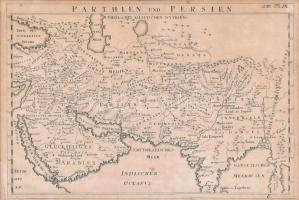
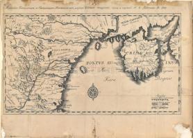
1783 A Besszarábia és a Krím félsziget térképe. Accurata Turcicarum et Tataricarum Provinciarum praesertim Criema designatio..- N. E. Kleemann. Rézmetszet, szélén foltos. Üvegezett keretben / 1783 Engraved map of Bessarabia and Crimean peninsula. In glazed frame 19x37 cm