https://www.darabanth.com/
https://static.darabanth.com/
https://static.darabanth.com/auction/img/
Continuous online auctions
Tétel

Magyarország, Erdély, Szalvónia, Horvátország színezett, rézmetszetű t...

The item is not available

Catalogue number:

12281.
Closed 35. Major auction
Maps

1

Starting price:

120 000 HUF
325,20 EUR, 375,00 USD

Number of bids:

0

Description:

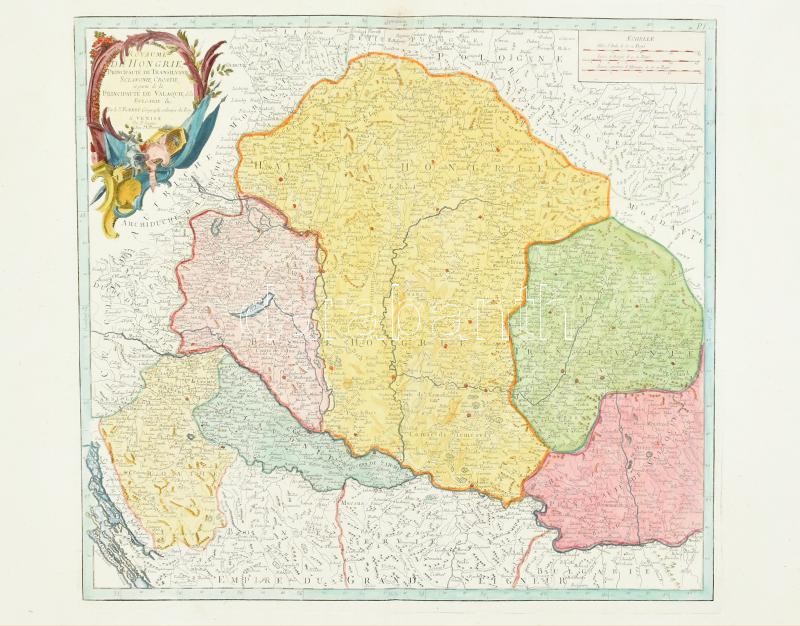
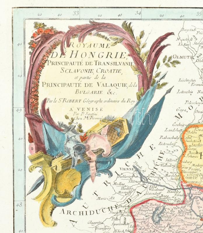
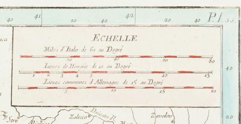
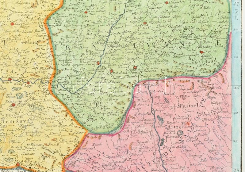
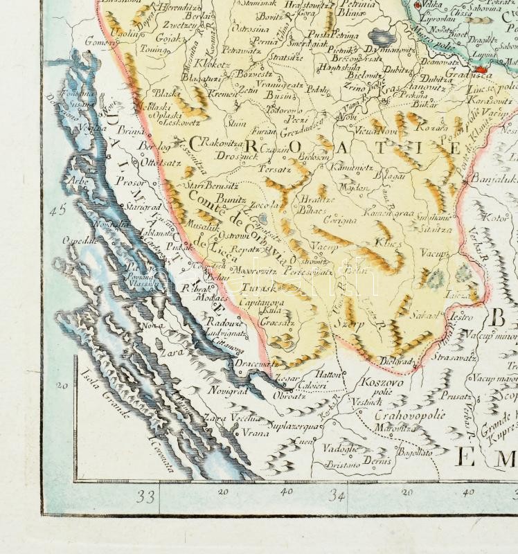
Magyarország, Erdély, Szalvónia, Horvátország színezett, rézmetszetű térképe. Royaume de Hongrie, Principaute de Transilvanie, Sclavonie, Croatie, et partie de la Principauté de Valaquie, de la Bulgarie &c. Par le S'Robert Géographe ordinaire du Roy a' Venise Par P. Santini. Atlas Universel, 1776. Velence. . Színezett rézmetszet. 475 × 545 mm / 1776. Map of Hungary, Transylvania, Slavonia, Croatia, Wallachia... colored engraving. 475 × 545 mm

Share:

Facebook

Photo of the item taken by : pelikán_kristóf

further page navigation

Contact

Opening hours

  • Monday: 12-17
  • Tuesday-Wednesday: 10-17
  • Thursday: 10-19
  • Friday: closed
  • Weekend: closed

Our sites

© 2011-2025 Darabanth Auction House Co., Ltd.
We use cookies on the Darabanth website to enhance your user experience.
By using this site you agree to the placement of cookies on your computer.
I agree
For details, please click here
https://www.darabanth.com/en/terms-and-conditions-faq
darabanth.com
H
Item added to the basket

Basket cost in total:

Continue shopping
  To the payment