https://www.darabanth.com/
https://static.darabanth.com/
https://static.darabanth.com/auction/img/
Continuous online auctions
Tétel

1871 Orts & Strassen Karte der Königreiche Ungarn, Croatien und Slavon...

Sold

Catalogue number:

12537.
Closed 303. Online auction
Maps

1

Starting price:

30 000 HUF

Number of bids:

7

Description:

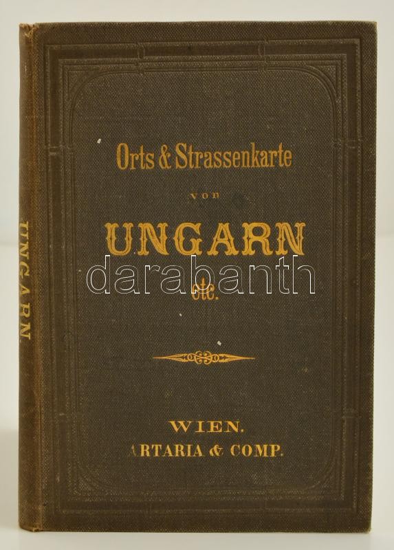
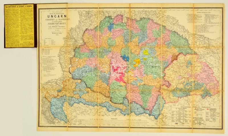
1871 Orts & Strassen Karte der Königreiche Ungarn, Croatien und Slavonien, des Grossfürstenthums Siebenbürgen. - A Magyar királyság, Horvátország, Szlavónia, az Erdélyi fejedelemség és a Határőrvidék helyiség és úthálózati térképe. Bearbeitet von A. Steinhauser. Bécs, 1871. Artaria & Comp. Színes, lithografált térkép, vászonra kasírozva, hajtogatva aranyozott egészvászon borítással. Nagyon szép állapotban. / 1871 Lithographic map of the KIngdom of Hungary, Croatia, Transylvania, Slavonia and the Militaryborder area. In nice linen cover. In very nice condition. Map size 78x54 cm

Share:

Facebook

Photo of the item taken by : vörös_iván

further page navigation

Auction house

  • Address: 16 Andrássy St, Budapest 1061 Hungary
  • Mailing Address: P.O. Box No. 979. Budapest 1244
  • Phone: +36 1 / 317-4757, +36 1 / 266-4154
  • E-mail : icvqw34r5nf?3+o@dasdfefgrabanwf34th.codv4m
  •  
  • Opening hours:
  • Monday: 12-17
  • Tuesday-Wednesday: 10-17
  • Thursday: 10-19
  • Friday: closed
  • Weekend: closed

Gallery

© 2011-2025 Darabanth Auction House Co., Ltd.
We use cookies on the Darabanth website to enhance your user experience.
By using this site you agree to the placement of cookies on your computer.
I agree
For details, please click here
https://www.darabanth.com/en/terms-and-conditions-faq
darabanth.com
H
Item added to the basket

Basket cost in total:

Continue shopping
  To the payment