https://www.darabanth.com/
https://static.darabanth.com/
https://static.darabanth.com/auction/img/
https://www.darabanth.com/
Continuous online auctions
Tétel

A Duna medence térképe Magyarországgal, Erdéllyel, Romániával és a Bal...

The item is not available

Catalogue number:

15236.
437. Closed Online auction
Maps

Starting price:

70 000 HUF
189,19 EUR, 205,88 USD

Number of bids:

0

Description:

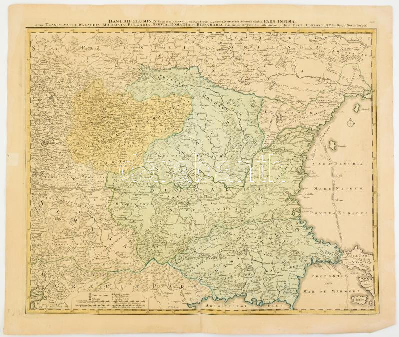
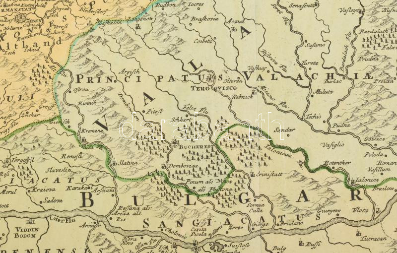
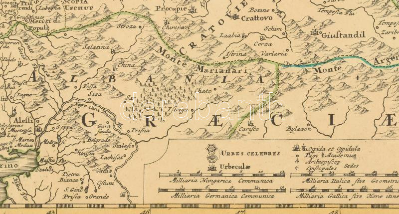
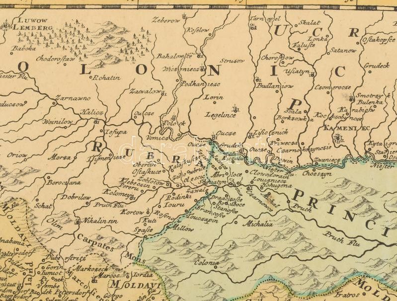
A Duna medence térképe Magyarországgal, Erdéllyel, Romániával és a Balkánnal. Homann, Joh. Baptist: Danubii Fluminis (hic ab urbe Belgrado per mare Nigrum usqu Constantinapolim defluentis exhibiti). Pars infima. Transsylvania, Wallachia, Moldavia, Bulgaria, Servia, Romania et Bessarabia... Nürnberg, 1713. Színezett rézmetszet, egy helyen ujjnyi papírelvékonyodással . 580x471 mm, lapméret 640x540 mm. / 1713 Map of the Danube and neigbouring countries. Wallachia, Moldavia, Serbia,. Transylvania. Colored engraving with a slight paper wear

Share:

Facebook

Photo of the item taken by : nagy_andras

further page navigation

Contact

Opening hours

  • Monday: 12-17
  • Tuesday-Wednesday: 10-17
  • Thursday: 10-19
  • Friday: closed
  • Weekend: closed

Our sites

© 2011-2024 Darabanth Philatelic and Numismatic Auctions Co., Ltd.
We use cookies on the Darabanth website to enhance your user experience.
By using this site you agree to the placement of cookies on your computer.
I agree
For details, please click here
https://www.darabanth.com/en/feltetelek/#privacy_policy
darabanth.com
Livestream

Item added to the basket

Basket cost in total:

Continue shopping
  To the payment