https://www.darabanth.com/
https://static.darabanth.com/
https://static.darabanth.com/auction/img/
The item is not available
15233.
Closed 437. Online auction
Maps
100 000 HUF
271,00 EUR, 312,50 USD
0
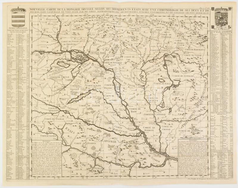
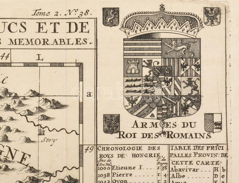
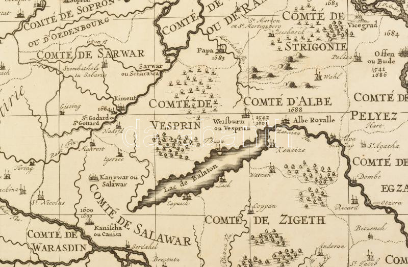
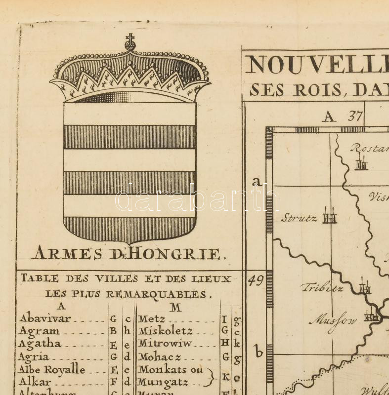
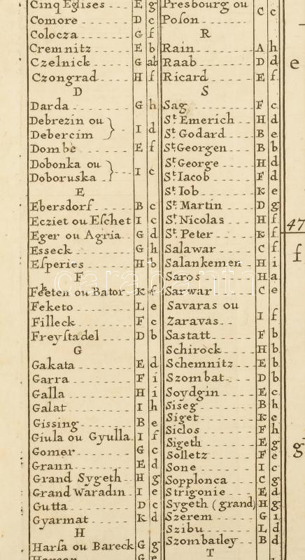
1708 Nouvelle carte de la Hongrie divisee selon ses differents Etats, avec une chronologie de ses Ducs et de ses Rois, dans la'quelle on voit aussi par des tables alphabetiques, les archeveschez, evechez, universitez, et les batailles les plus memorables. In: Z. Chatelain: Atlas Historique, ou Nouvelle Introduction a l'Histoire, á la Cronologie & á la géographie. Ancienne & Moderne. A jobb felső sarokban: Tome 2. No. 38. (Amsterdam, 1708, Z. Chatelain.), rézmetszetű térkép, csak a térkép: 44x48,5 cm, szöveggel együtt: 48x62,5 cm, lapméret: 52x65 cm. Rézmetszetű térkép, francia nyelven, a felső sarkokban a Magyar királyság valamint a román királyok címerével, szélein a városok, folyók jegyzékével, valamint csaták és ostromok, és királyok jegyzékével. A térképen a fontosabb események évszámaival. Jó, megkímélt állapotban / 1708 engraved map of Hungary and Transylvania with the coat of arms of Hungarian and Romanian kings
Basket cost in total: