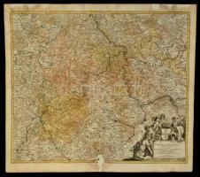
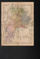
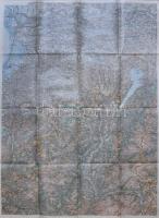
1720 A Tevere folyó menti területek térképe. Johann Baptist Homann: Mosellae Fluminis Tabula specialis in qua Archiepiscopatus et Electoratus Trevirensis in suas Praefecturas accurate divisus ut et Eyfaliae Tractus ostenditur Sumbtibus. Restaurált. Színezett rézmetszet / Map of the Tevere river area in Italy. Colored copper plate engraving with restoration. 63x55 cm
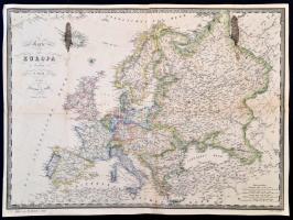
1860 Európa térképe, F. Fried, Wien, Artaria & Comp., német nyelven, foltos, a hátoldalán javítással, 37x50 cm./
1860 Map of Europe, F. Fried, Wien, Artaria & Comp., in German language, spotty, with repairs on the back, 37x50 cm.
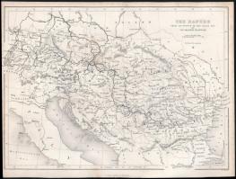
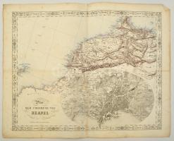
cca 1845-1847 Joseph Scheda (1815-1888): Plan der Umgebung von Neapel. Nápoly és kornyékének, valamint Északnyugat Afrika térképe, litográfia. Wien, K. K. Militärisch Geographisches Institut, foltos, kis szakadásokkal, német nyelven, 45x55 cm./
cca 1845-1847 Joseph Scheda (1815-1888): Plan der Umgebung von Neapel. Map of surroundings of Naples, and Northwest Africa, lithography. Wien, K. K. Militärisch Geographisches Institut, spotty, with a little tears, in German language, 45x55 cm./
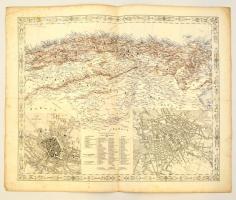
cca 1845-1847 Joseph Scheda (1815-1888): München és Berlin, és Észak Afrika térképe, litográfia. Wien, K. K. Militärisch Geographisches Institut, foltos, kis szakaadásokkal, német nyelven, 45x55 cm./ cca 1845-1847 Joseph Scheda (1815-1888): Map of München and Berlin, and North Africa, lithography. Wien, K. K. Militärisch Geographisches Institut, spotty, with a little tears, in German language, 45x55 cm./
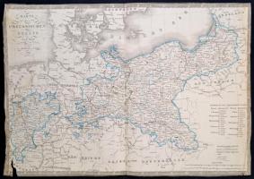
1839 Poroszország térképe, F. Fried, Wien, Artaria & Comp., német nyelven, két alsó sarkánál sérült, a széleinél kissé gyűrött, 36x50 cm./
1839 Map of Prussia, F. Fried, Wien, Artaria & Comp., in German language, with two damaged corner, with a little bit wrinkled edges, 36x50 cm.
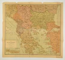
cca 1917 A Balkán-félsziget politikai-katonai térképe, a Bukaresti és Konstatinpolyi békék után. A hajtások-mentén kis szakadásokkal, 75x64 cm./ cca 1917 Political-military map of Balkan Peninsula after the Bucharest and Istanbul Treaties. With some tears
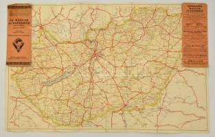
cca 1930 Új Magyar Autótérkép egy lapon, 1:600.000, tervezte Gergely Endre, negyedik teljesen átdolgozott kiadás, Bp., Kókai Lajos kiadása, a hajtás menén szakadt, a címlapja foltos, 57x89 cm.