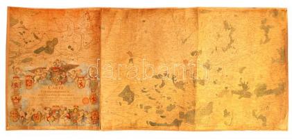
1777 Ferraris, Joseph de (1726-1814): Carte chorographique des Pays-Bas autrichiens, Osztrák Németalföld térképe, 12. sz. tábla, kézzel festett, vászonra kasírozva, sérült, 60×136 cm /
1777 Ferraris, Joseph de (1726-1814): Carte chorographique des Pays-Bas autrichiens, chorographic map of the Austrian Netherlands, table No. 12., handpainted, on canvas, damaged, 60×136 cm
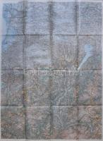
1910 Nagyméretű USA térkép három részből. Hajtásoknál a papíron szakadások / Large map of the US. Dept. of the Interior U.s. Geological and Geographic survey Henry Bennett - George Otis Smith. Tears at folds. 130x210 cm
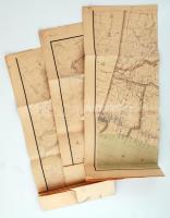
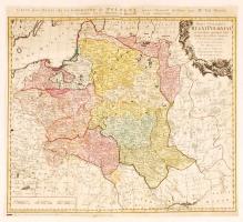
1773 Tobias Mayer; Homann Heirs: Carte des Etats de la couronne de Pologne, régi Lengyelország térkép. Színezett rézmetszet 51x47 cm /
1773 Tobias Mayer; Homann Heirs: Carte des Etats de la couronne de Pologne, map of Poland, Colored etching. 51x47 cm
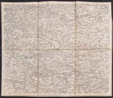
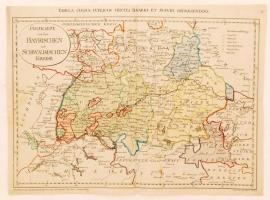
1799 Franz Müller: Postkarte von den Bayrischen und Schwaebischen Kreise (Tabula cursus circuli Bavarici et Suevici repraesentans), Bajorország térképe. Színezett rézmetszet. 51x38 cm /
1799 Map of Bavaria. Franz Müller. Colored etching 51x38 cm