https://www.darabanth.com/
https://static.darabanth.com/
https://static.darabanth.com/auction/img/
Es ist verkauft
100 000 HUF
1
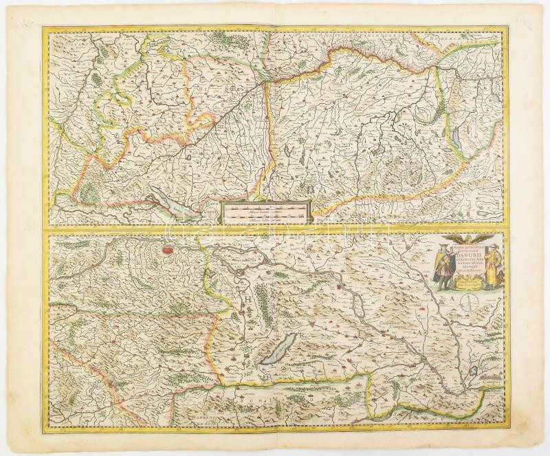
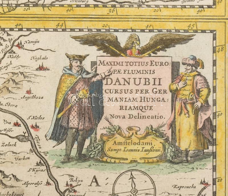
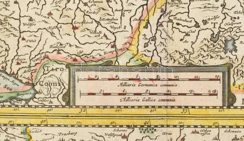
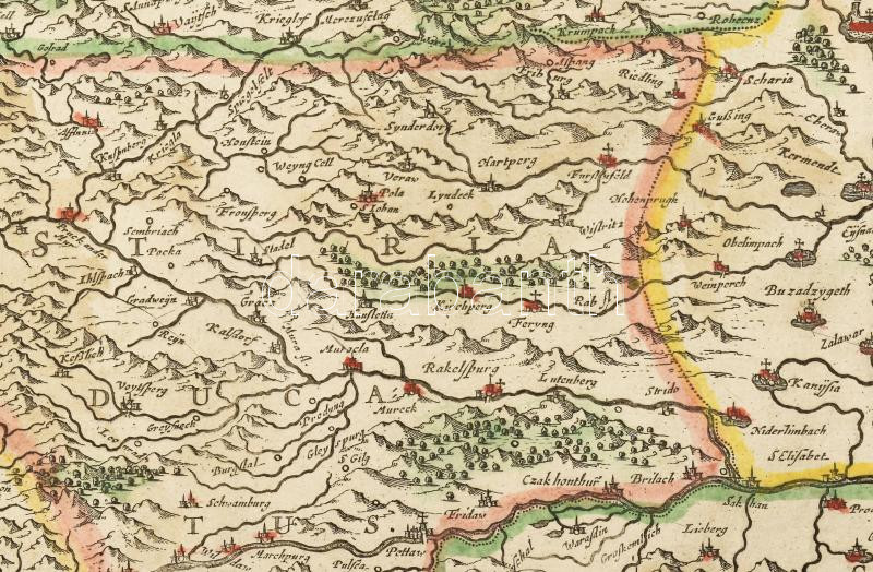
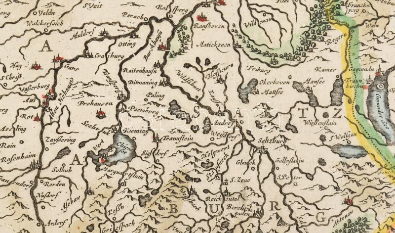
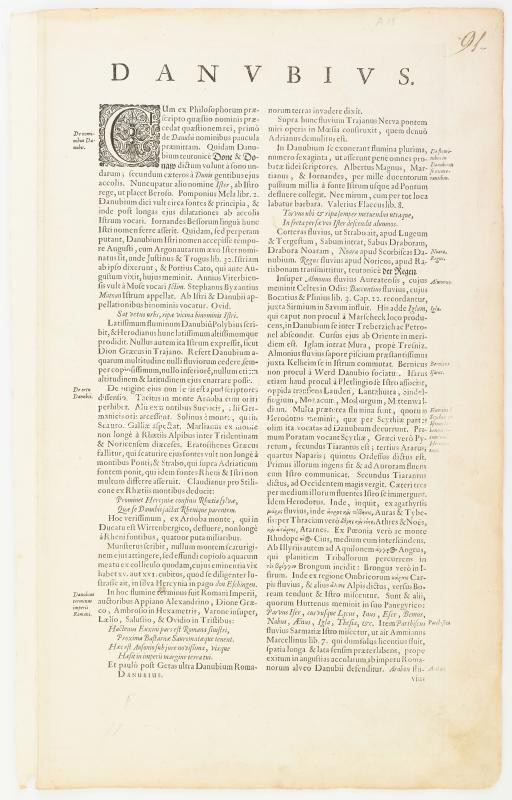
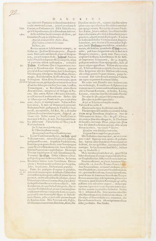
1666 A Duna Németországi és Magyarországi folyásának kétosztatú, színes rézmetszetű térképe. - Maximi totius Europe fluminis Danubii cursus per Germaniam Hungariamque. Megjelent : Janssonius, Johannes : Atlas contractus, sive atlantis majoris comprendium... c. munkájában, Amszterdam, 1666. 440x450 mm. Lapméret: 590x500 mm. / 1666 Copper plate engraved map of the course of Danube in Hungary. Germany and Transylvania
Gesamtsumme: