https://www.darabanth.com/
https://static.darabanth.com/
https://static.darabanth.com/auction/img/
Das Lot is nicht erreichbar
3 000 HUF
8,22 EUR, 9,84 USD
0
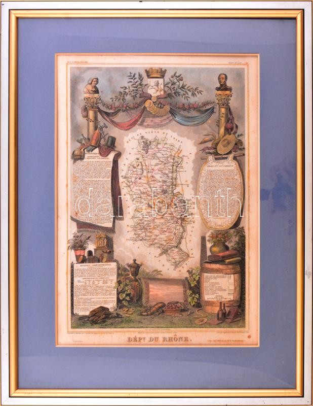
cca 1850 Départment du Rhone (Franciaország) térképe, Atlas National Illustre, 42x28 cm. Dekoratív üvegezett fakeretben, kissé foltos. / cca 1850 Map of Départment du Rhone (France), Atlas National Illustre, framed, stains, 42x28 cm
Gesamtsumme: