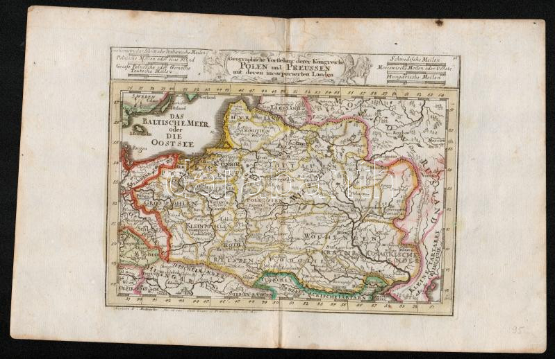
cca 1700 Lengyelország és Bajororoszág térképe. Das Baltische Meer oder die Ostsee. Johann Hofmann: Díszes kartusú, színezett rézmetszet. Megjelent: Atlas Curieux oder neuer und Compendieuser Atlas. (Augsburg, 1700?). Méret: 29x20 cm / cca 1700 Map of the Baltic Sea and Poland and Prussia Colored etching 31x20 cm
Die Webseite von Darabanth GmbH nutzt Cookies, um Ihnen die bestmögliche Surferfahrung zu garantieren. Durch das Weitersurfen auf dieser Webseite stimmen Sie der Verwendung der Cookies automatisch zu.