https://www.darabanth.com/
https://static.darabanth.com/
https://static.darabanth.com/auction/img/
Es ist verkauft
4 000 HUF
1
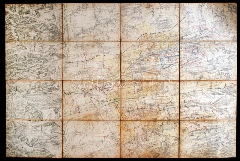
cca 1880-1910 Kaposvár és környéke térképe, bejelölve rajta az úthálózat, telekhatárok, stb., német és magyar nyelven, vászonra ragasztott, 136×91,5 cm / cca 1880-1910 Map of Kaposvár/Ruppertsburg/Kapošvar, with the roads, borders of the parcels, etc. on it, in Hungarian and German, 136×91,5 cm
Gesamtsumme: