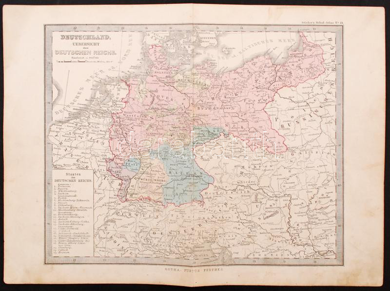
cca 1880 A Német Birodalom térképe a Stieler-féle iskolai atlaszból, Gotha: Justus Perthes kiadása, 32x25 cm /
cca 1880 Map of the German Empire, Stieler's Schul-Atlas No. 14., Gotha: Justus Perthes edition, 32x25 cm
Die Webseite von Darabanth GmbH nutzt Cookies, um Ihnen die bestmögliche Surferfahrung zu garantieren. Durch das Weitersurfen auf dieser Webseite stimmen Sie der Verwendung der Cookies automatisch zu.