https://www.darabanth.com/
https://static.darabanth.com/
https://static.darabanth.com/auction/img/
Es ist verkauft
4 000 HUF
1
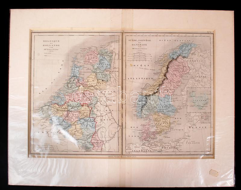
1881 Belgium, Hollandia, és Skandinávia térkép paszpartuban / Map of the Benelux countries and Scandinavia. Atlas St. Cyr. Furne, Jouvet et Cie. Editeurs. Imp. Lemercier 54x50 cm
Gesamtsumme: