https://www.darabanth.com/
https://static.darabanth.com/
https://static.darabanth.com/auction/img/
Zahl der Lose: 71
| bis 1 000 HUF | 100 HUF |
| bis 5 000 HUF | 200 HUF |
| bis 10 000 HUF | 500 HUF |
| bis 20 000 HUF | 1 000 HUF |
| bis 50 000 HUF | 2 000 HUF |
| bis 100 000 HUF | 5 000 HUF |
| bis 200 000 HUF | 10 000 HUF |
| bis 500 000 HUF | 20 000 HUF |
| bis 1 000 000 HUF | 50 000 HUF |
| bis 2 000 000 HUF | 100 000 HUF |
| bis 5 000 000 HUF | 200 000 HUF |
| bis 10 000 000 HUF | 500 000 HUF |
| ab 10 000 000 HUF | 1 000 000 HUF |
Filtern bei der Auktion
Gesamtsumme:
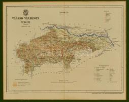

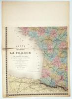
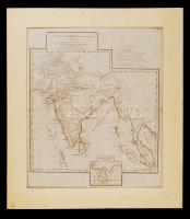
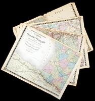
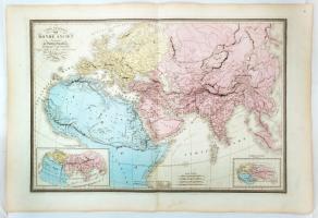
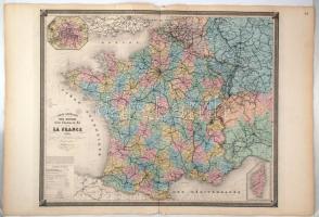
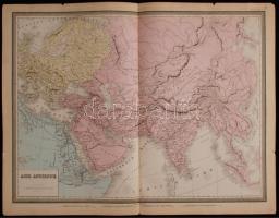
![Berghaus, Heinrich, Dr.: Vollständiger Universal-Handatlas der neueren Erdbeschreibung über alle Theile der Erde in 82 Blättern, herausgegeben von Dr. K. Sohr und F. Handtke. Fünfte Auflage, vermehrt und verbessert durch --. Glogau, 1855. Carl Flemming. [2] p. + 88 színezett térképlap. (Hiány: 4 db: 10, 20,21, 65) Folio. 45x38 cm Borító nélkül, a címlap kissé rojtos, de a térképlapok jó állapotban. / 88 etched maps. Without cover 4 pages missing (10,20,21,65)](https://static.darabanth.com/images_thumbs/1/7/1701992.jpg)
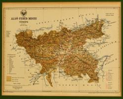
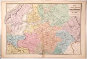
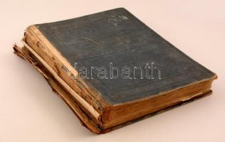
![Velhagen & Klasings Neuer Volks- und Familienatlas. Szerk.: Scobel, A[lbert]. Bielefeld - Leipzig, 1901, Verlag von Velagen & Klasing. Kopott vászonkötésben, egyébként jó állapotban.](https://static.darabanth.com/images_thumbs/1/6/1683616.jpg)